main index to Singapore's Southern shores for the southern expedition | mega marine survey blog | facebook page
Pulau Jong

Habitats: Island with rocky shore and coastal forest, flats rocky, rubbly with sparse corals and sparse seagrasses.
1° 12.924'N 103° 47.212'E
6ha, 400m x 100m
(from Google Earth and Earth Point)
Conservation status: Listed for use as 'Beach Area' in the URA Master Plan 2008, i.e., "An area used or intended to be used for coastal recreational purposes for the enjoyment of the general public." Status not indicated in Parks and Waterbodies Plan. It is managed by Sentosa Leisure Group.

Current conservation activities: It is one of the survey sites of underwater coral reef surveys by ReefFriends of NParks and the Blue Water Volunteers. The intertidal area is also regularly surveyed by wildsingapore.
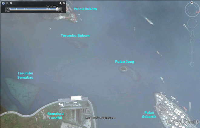
About the name: Pulau=Island; Jong=Arabic for Chinese junk or sailing ship. At low tide, the long narrow reef topped by the small hemi-spherical forest-clad island does resemble a sailing ship.

Landscape views of Pulau Jong from wildsingapore flickr
Highlights of marine life at Pulau Jong from wildsingapore flickr
All photos of Pulau Jong from wildsingapore flickr

Blog posts about Pulau Jong on wild shores of singapore

Links

 
links | references | about | email Ria
Spot errors? Have a question? Want to share your sightings? email Ria I'll be glad to hear from you!
wildfactsheets website©ria tan 2008