 |
|
|
main index to Singapore's Southern shores
for the southern
expedition | mega marine survey blog
| facebook
page
|
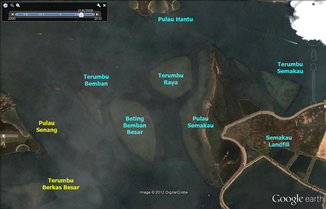
| Terumbu
Semakau Habitats: Northern edge rocky, central area sandy with some seagrasses, rubbly edges sparsely reefy, denser corals on south-western edge. |
|
 |
| Conservation
status: Does not appear on the URA
Master Plan 2008 or the Parks
and Waterbodies Plan. Current conservation activities: The intertidal area is regularly surveyed by wildsingapore. |
|
| Landscape views of Terumbu Semakau from wildsingapore flickr |
| Highlights of marine life at Terumbu Semakau from wildsingapore flickr |
| All photos of Terumbu Semakau from wildsingapore flickr |
| Blog posts about Terumbu Semakau on wild shores of singapore |
|
Links
|